For residents
Where is my tram right now? How do I get there by bike, and how steep is it? Live public transport, service alerts, routes for walking, cycling, e-bikes and cars, shared bikes and chargers – in one place.

3D maps for towns and cities
Residents plan journeys with live public transport, visitors explore the landmarks, and the town hall gets a modern showcase – in any browser, with no app to install.
Explore live PragueNo cookies, no ads
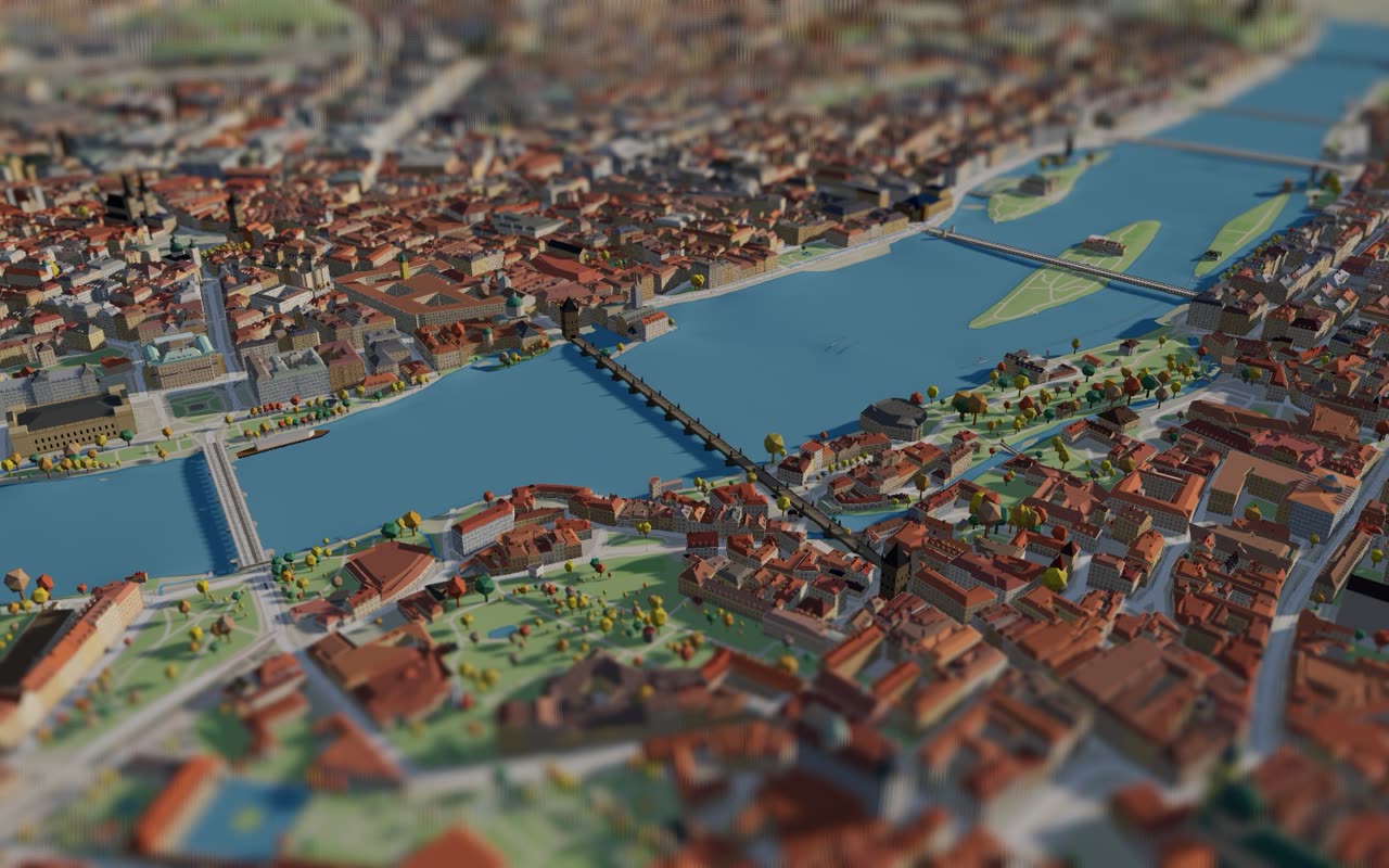 Live data
Why it pays off
A map people actually open: on their phone at the tram stop, on the town’s website, in a post your communications team shares.
Where is my tram right now? How do I get there by bike, and how steep is it? Live public transport, service alerts, routes for walking, cycling, e-bikes and cars, shared bikes and chargers – in one place.
Landmarks modelled by hand, a guided flight over the town, places to share and an interface in 32 languages. A reason to stay longer – and to come back.
A modern showcase of the town without any work on your side: we prepare, host and update it. Embed it on your website, share views of planned projects, use the images and video in your communication.
What the map can do
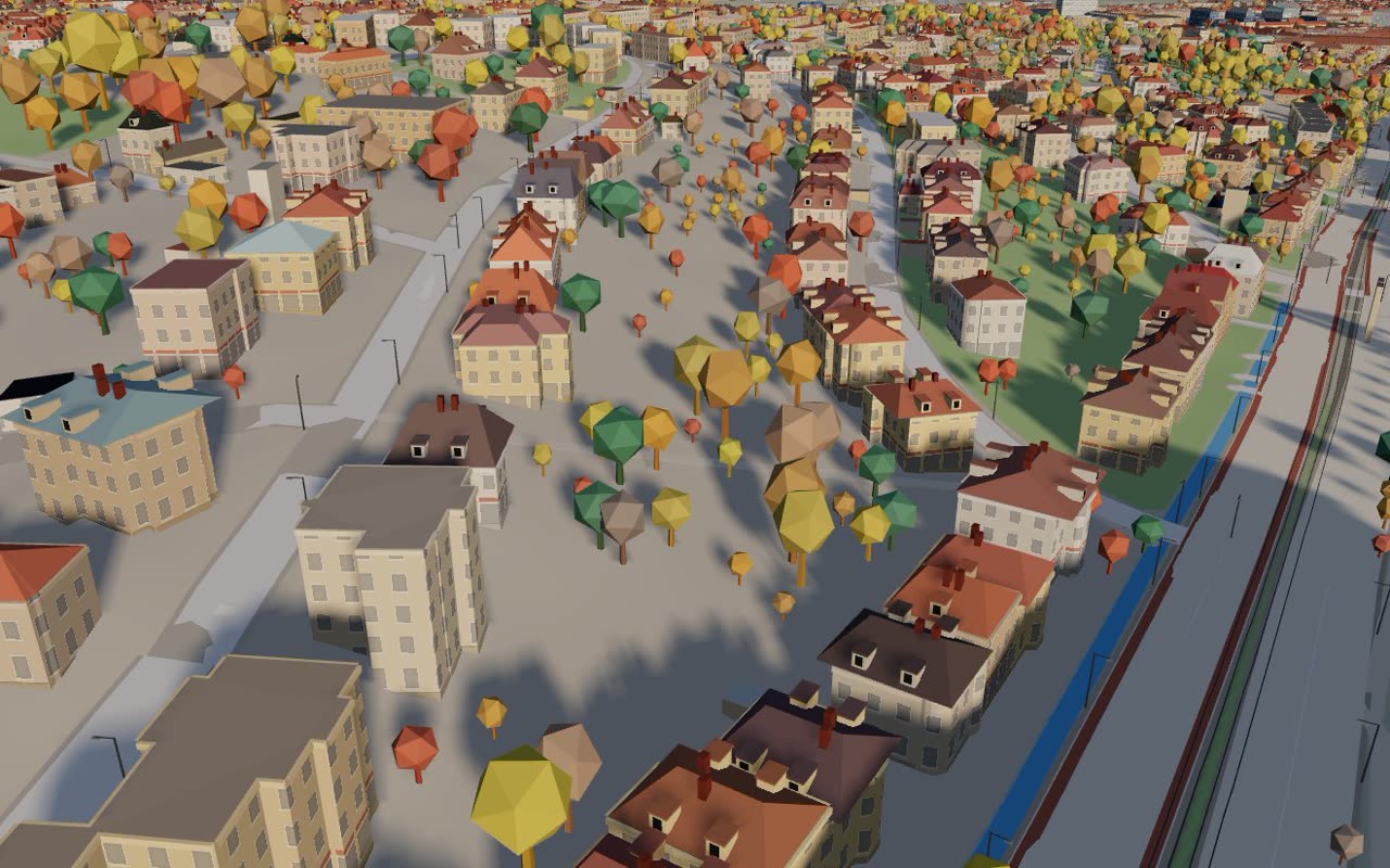
Building and tree heights come from the national laser scan, roofs from aerial imagery, terrain from the official elevation model. Pitched roofs, dormers and chimneys included.
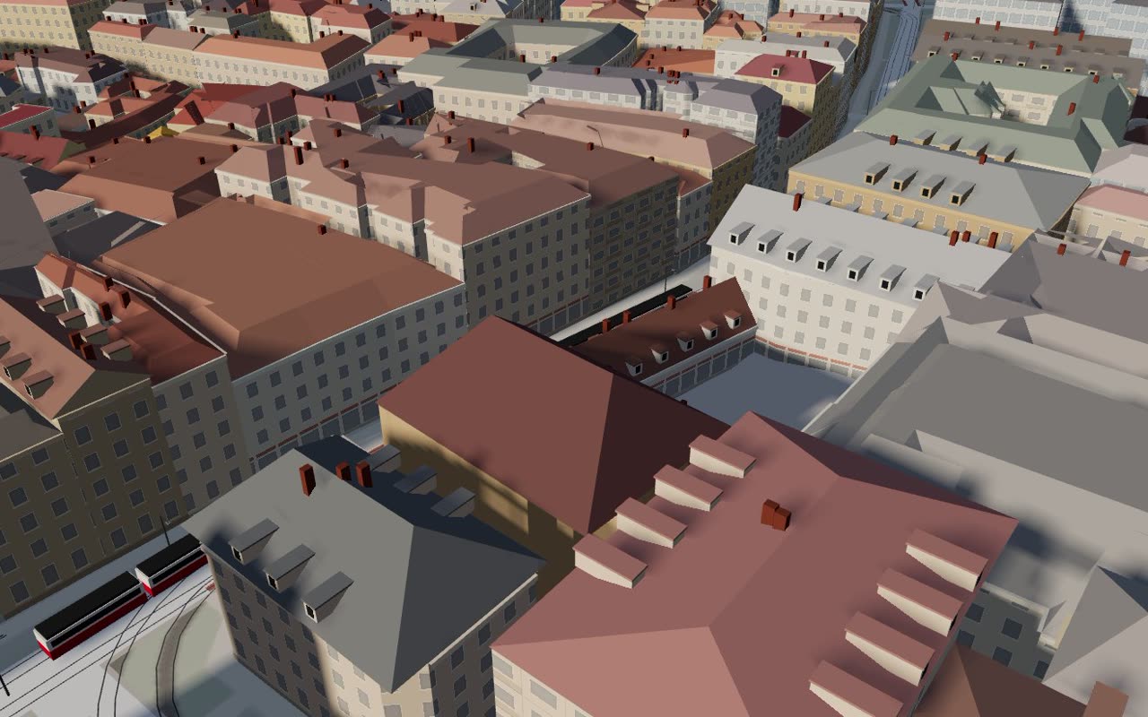
Every vehicle on its route in real time. Click one to follow it and see its next stops.
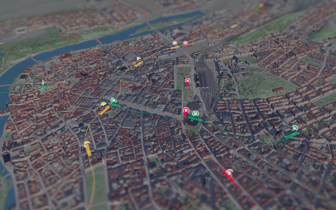
Tunnels and trains at the real depth of each station, with a view that dims the surface.
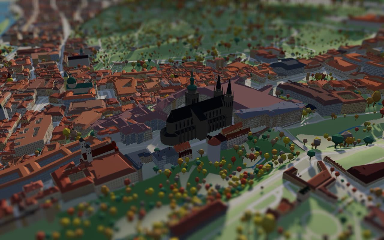
The town’s icons as their own models, recognisable at first sight – churches, towers, bridges, the town hall.
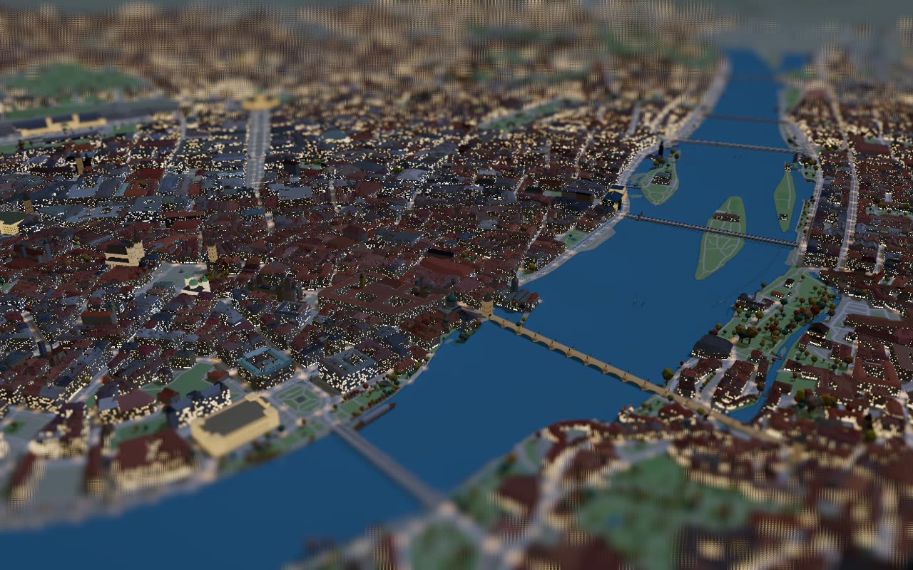
The real sun, live weather, street lamps at night and trees that turn with the seasons.
Live demo
This is the real Tiny Prague. Drag to move, scroll or pinch to zoom, click a tram to follow it.
How it works
Fifteen minutes about your town and your goals. You get a written quote within one working day.
From open data: buildings, terrain, timetables and live vehicles, plus the landmarks we model for you.
On a private link. We fine-tune the details and the landmarks you care about.
On your own domain or yourtown.tinymaps.eu, with embed code, images and a short video for your channels.
Support your town
No need to be the town hall or a company. Choose your town and tell us how much you would contribute. When the pledges add up to enough for its size, everyone who signed up gets a link to pay online. And once the money is really there, the map gets built.
No town yet. Be the first.
Is your town here? Open its page and share it with your neighbours, your mayor, councillors and local companies who might support it.
Pricing
One-off setup plus monthly operation, which covers hosting, live data, updates and support. Prices exclude VAT.
Too much for one budget? Neighbours and local companies can put it together. Support your town
up to 3,000 inhabitants
€190 setup
€9 per month
up to 30,000 inhabitants
€590 setup
€25 per month
up to 300,000 inhabitants
€1,190 setup
€59 per month
over 300,000 inhabitants
from €1,490 setup
from €99 per month
Every plan: 32 languages, day and night, seasons, installable app, your own domain, data refresh twice a year, no cookies.
Town
Excl. VAT. An estimate – the quote for your town is binding.
For companies
A local company can give the map to its town – and be seen every time someone opens it.
The price depends on whether your town’s map already exists or has to be created, and on your other requirements (white label, your own domain and hosting and so on).
Talk about a partnership
Peace of mind
Keyboard control, screen reader labels, a high-contrast mode, reduced motion. Designed with WCAG 2.1 AA and the EU Web Accessibility Directive in mind.
No cookies and no ad trackers. We only count visits anonymously, with shortened IP addresses. Nothing to add to your cookie banner.
On servers in the Czech Republic, light enough to handle a rush of visitors after a press release.
A quote, a contract and an invoice – within the limits of a small public contract. Cancel the monthly operation at any time.
Questions
Yes. Even a village of a few hundred people looks great in 3D, and the map works as a tourist guide and a proud showcase on the village website – for €190 and €9 a month.
No. Anyone can pledge an amount for their town, and local companies can join in. Nobody pays until enough is pledged for the town’s size; then everyone who signed up gets a link to pay online, and once the money is really there, the map gets built.
We do. Hosting, live data, data refreshes twice a year and app updates are covered by the monthly fee. You don’t need IT staff.
If your operator publishes live vehicle positions (for example GTFS-Realtime), yes. Otherwise the map shows lines, stops and timetable information.
Your own domain is included in every plan. A fully white-labelled map, or one running on your own servers, is available by quote.
You receive a quote and a short contract; we invoice the setup and then monthly or yearly operation. The amounts fit the limits of a small public contract.
Cancel the operation at the end of any month. There is no long-term commitment.
From open sources: OpenStreetMap, the national mapping agency (laser scan, terrain, aerial imagery), your transport operator and others. We handle the licences and attributions.
Get a quote
Tell us which town and what matters to you. You get a quote within one working day – no obligation.